I drove up to Grand Coulee to visit an old friend from college, Kylee. We were engineering students at Cal Poly where she earned her mechanical engineering degree. Now she’s working at the Grand Coulee Dam on temporary assignment through the end of the year. In addition to giving me a tour of the dam, we also ventured off into the surrounding wasteland for a hike near Lake Lenore.
The landscape of Northeastern Washington is dry, hot and barren, but strikingly beautiful as well. The land was created by fire and shaped by water over millions of years:
- 40 to 60 million years ago: Granite bedrock formed deep in the Earth’s crust, eventually being uplifted to form small mountains and an inland sea.
- 10 to 18 million years Ago: The Grand Ronde Rift experienced a series of volcanic eruptions which filled the inland sea with basaltic lava.
- 2.5 million years ago: The Pleistocene glaciation covered much of North America with ice sheets, which blocked the Columbia River causing it to divert to the south, creating a channel which would eventually become The Grand Coulee.
- 18,000 years ago: Glacial ice advanced to block the Clark Fork River drainage in present day Idaho, creating a massive lake which covered much of Montana. The natural ice dam failed, releasing roughly 500 cubic miles of water in 48 hours. This process is thought to have occurred periodically resulting in a cataclysmic event that we now know as the Missoula Floods.
Dry Falls
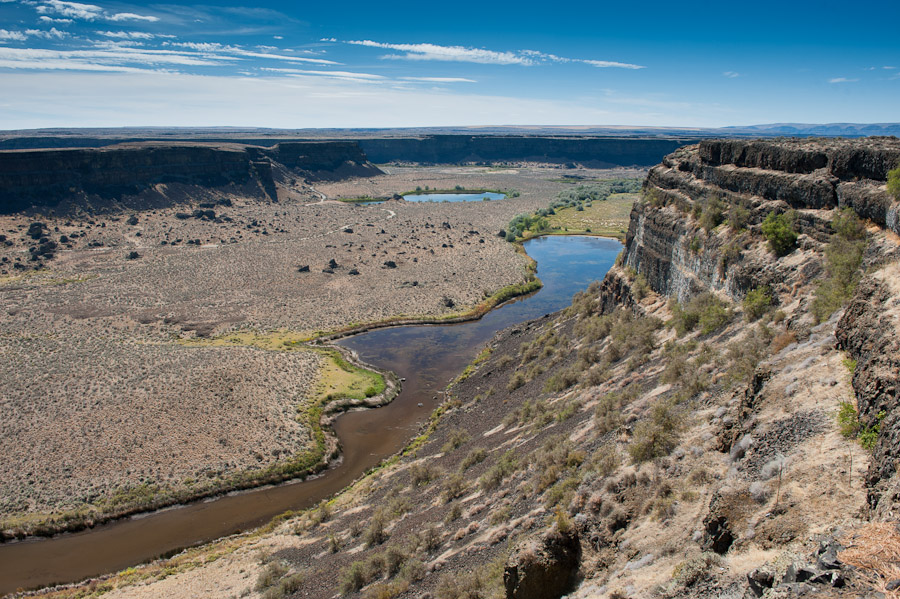
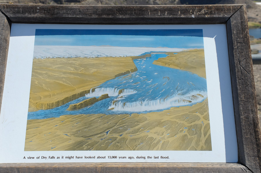
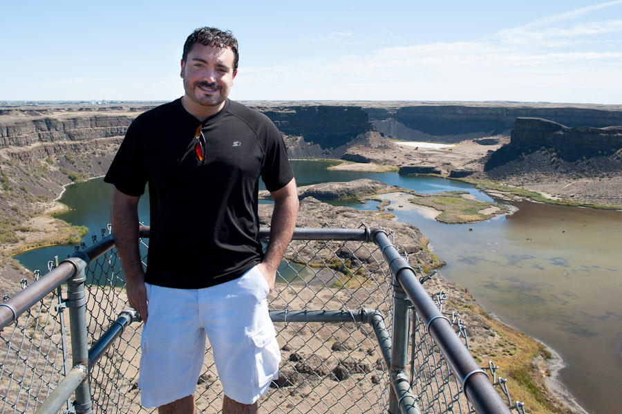
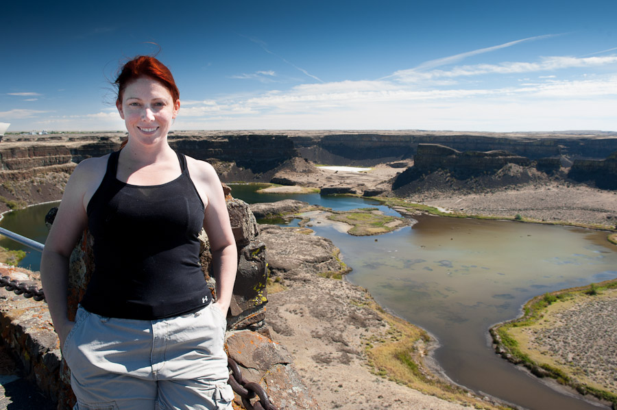
On our way to the Lake Lenore area, we stopped at Dry Falls, a remnant of the ancient river that formed the Grand Coulee. Roughly two million years ago, during the Pleistocene glaciation (ice age), the Columbia River was blocked by glaciers descending from the North. The diverted river created a channel to the south that would eventually widen to form Banks Lake as we know it today. This image, courtesy of Wikipedia, shows the path of the present day Columbia. Note the location and shape of Banks Lake. Eventually, as the ice age came to an end, the ice dam that held back a massive lake covering much of Montana broke, releasing a flow of water equal in magnitude to 10+ times the combined flow of all the rivers in the world. Much of that water flowed through this channel creating the Grand Coulee and a towering 400 foot waterfall with a 3 mile span. My pictures cannot really do this place justice so consider the aerial view courtesy of Google Maps to really understand how impressive this waterfall must have been.

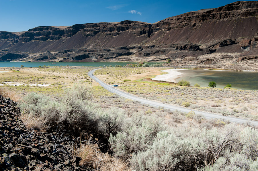
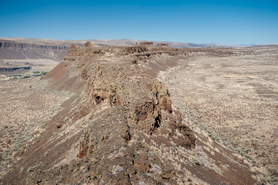
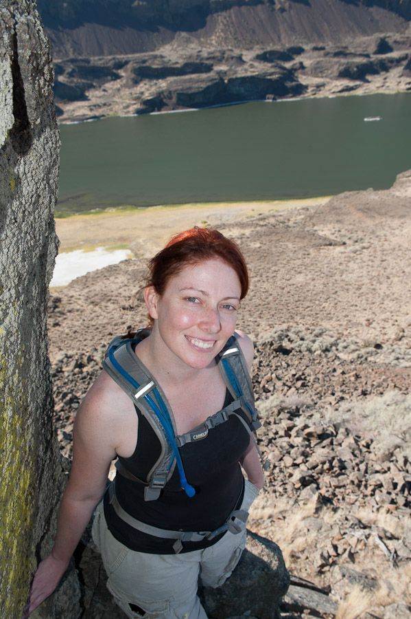
Lake Lenore
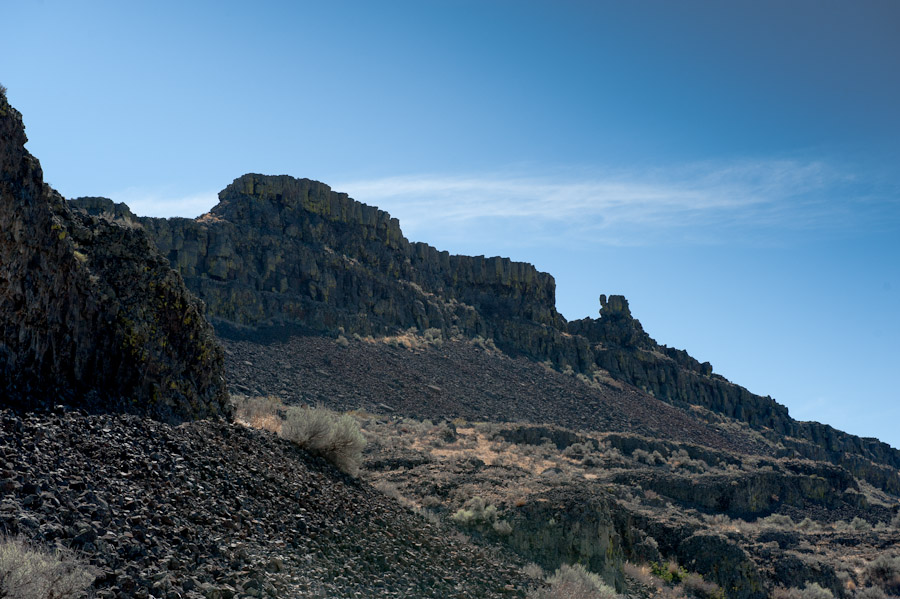
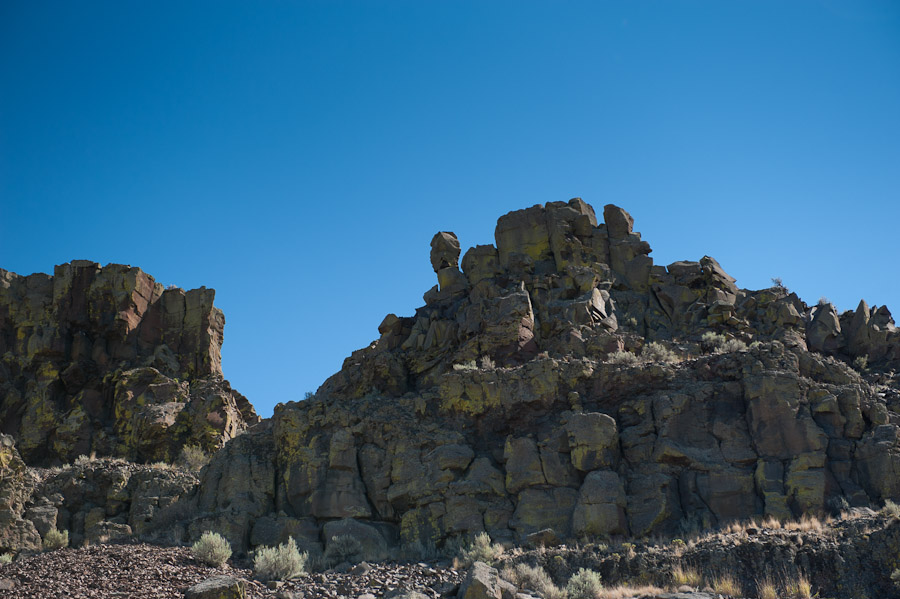
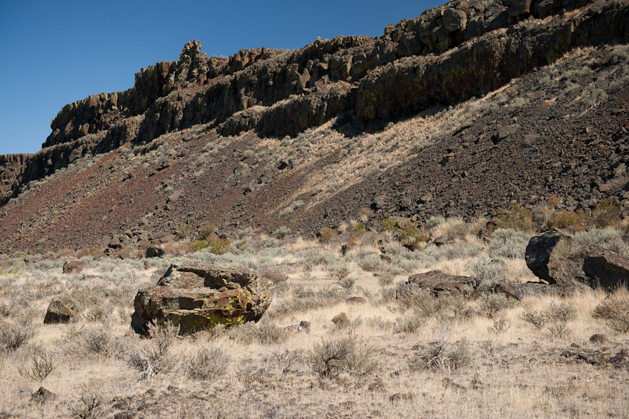
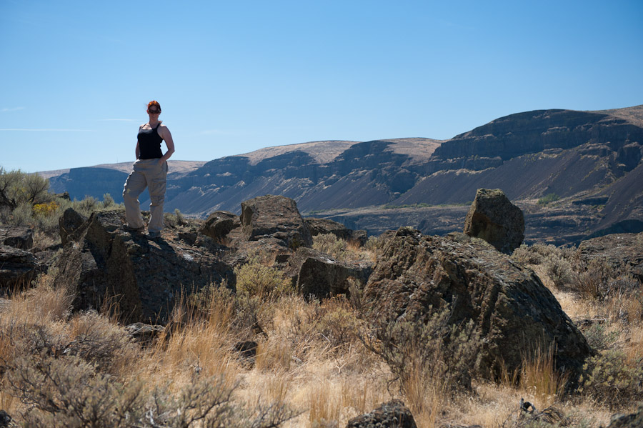
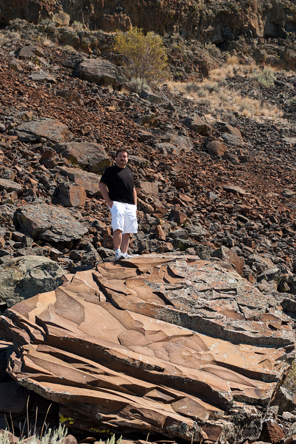
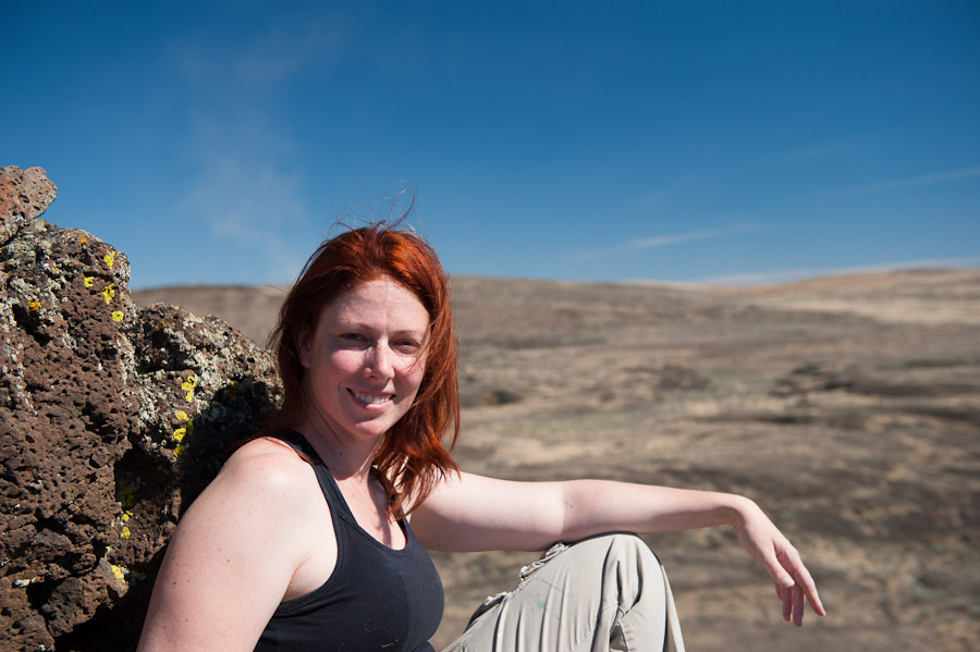
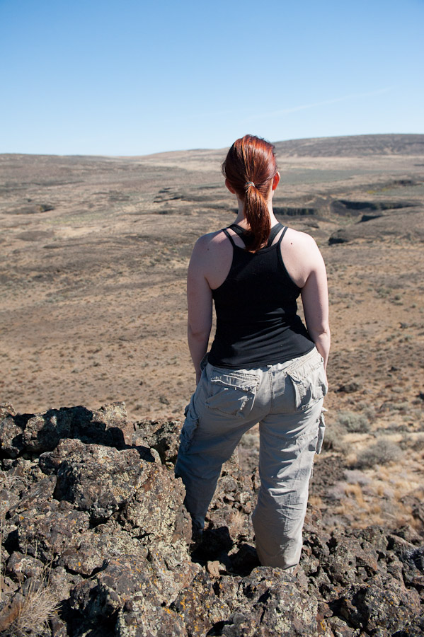
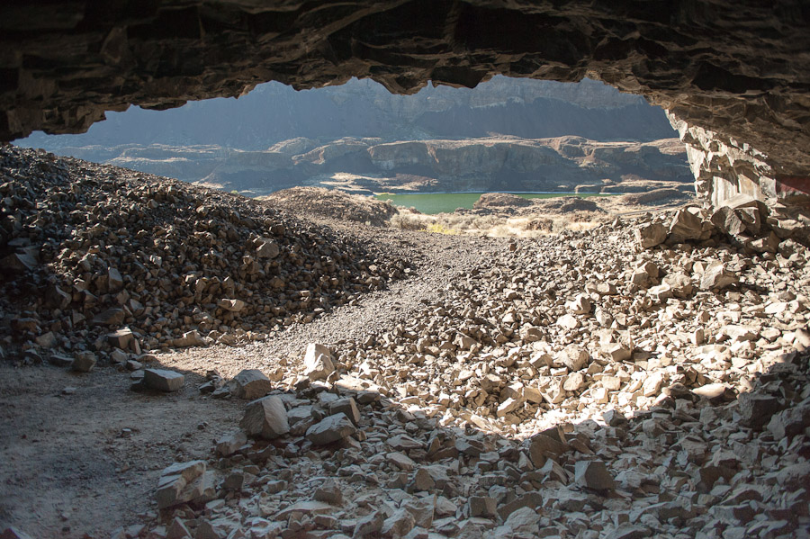
We arrived at our hiking destination, the Lake Lenore Caves trail head. While most of the hikers were content to walk a few steps to the main attraction, natural caves formed by the ancient flood waters, we decided to venture off the trail and explore. Kylee had been here once before, so she volunteered to be my guide as we hiked through the giant-spider-infested high desert landscape toward an impressive rock formation in the distance. I don’t know if it was the dry, desert landscape, the absence of people or the giant spiders, but this place bore a striking resemblance to the setting of Fallout: post apocalyptic survival in an irradiated wasteland.
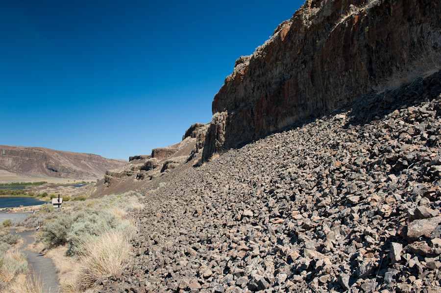
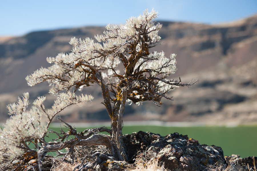
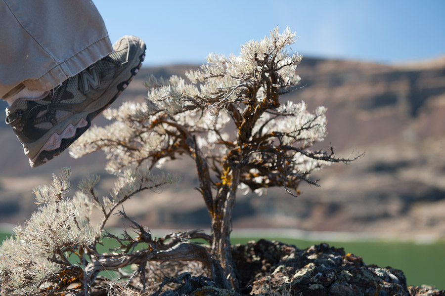
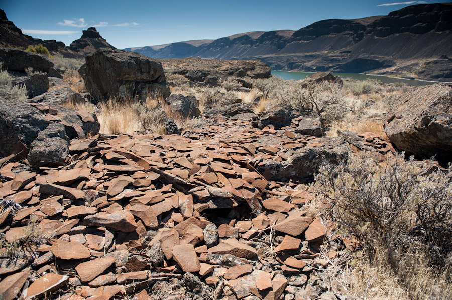
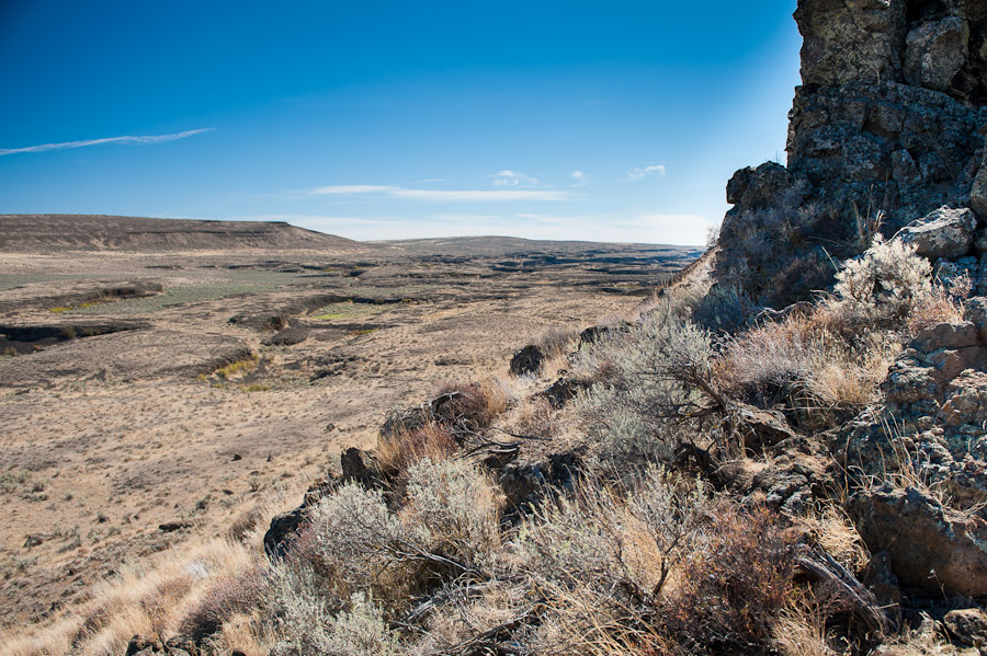
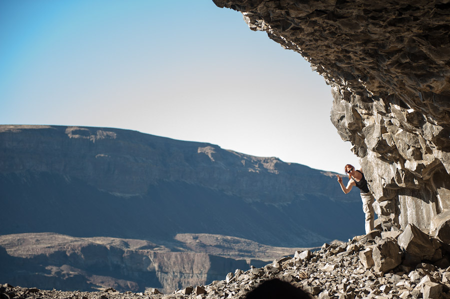
Lake Lenore was formed by the same cataclysmic floods that carved The Grand Coulee. Today it is an alkaline lake with very high salt content. The high pH in the water bleaches white anything it touches, clearly marking the waterline. We hiked along the ridge to the east of the Lake and scaled the rocks until we arrived at an impressive vantage point. Of course we stopped for a few photos along the way:

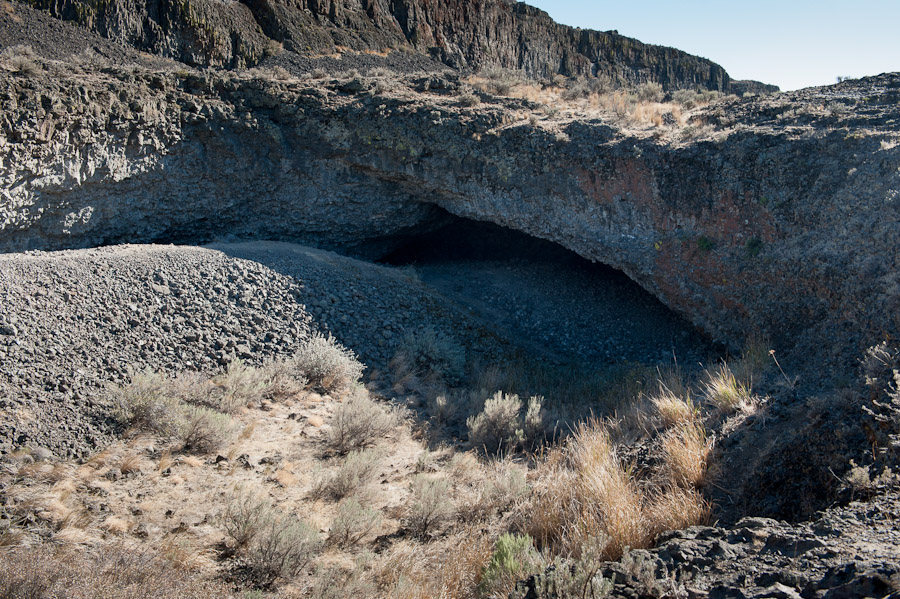
Lake Lenore Caves
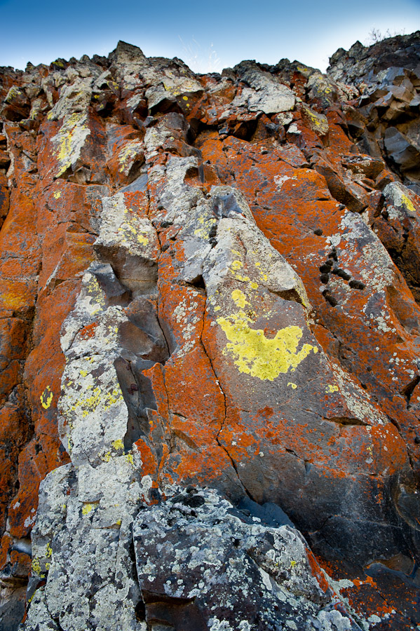
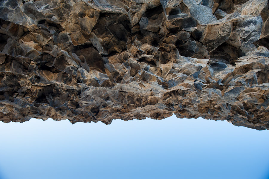
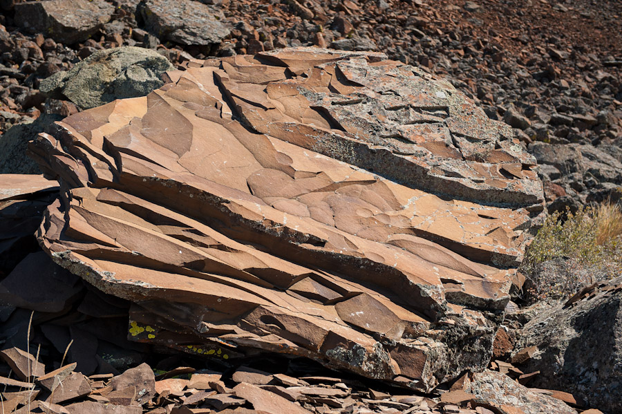
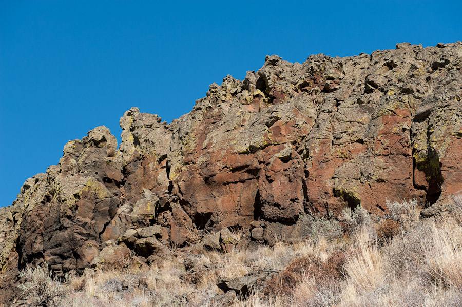
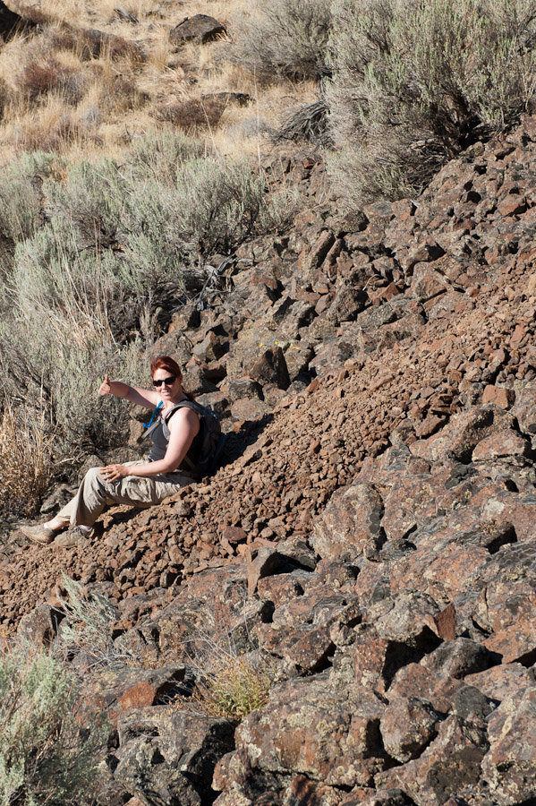
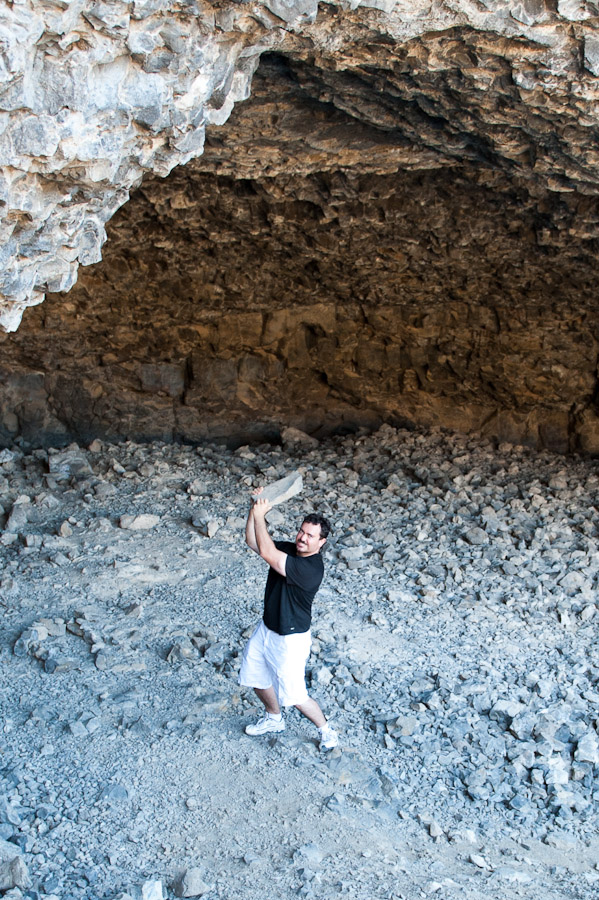
On our way down from the ridge, we stumbled upon several of the caves that are the area’s main attraction. The caves were formed in the cataclysmic floods mentioned above and gradually enlarged over thousands of years due to the freezing/thawing cycle of water within the caves. Native American tribes took advantage of these natural shelters around 5000 years ago, leaving petroglyphs which can still be seen today. Had I known this at the time of our hike, I would have paid closer attention! Instead, I spent time teasing Kylee about a certain girly rock only to find said rock whizzing by my head at 100 mph. Phew… won’t be making that mistake again.
Grand Coulee Dam
Before heading back I was fortunate to take a tour of the dam with an actual engineer who worked there! Kylee explained much about the dam’s construction and operation, which I found fascinating. We also hiked from the visitor’s center, through Engineer’s Town and across the bridge to Mason City. The bridge itself offered another spectacular view of the dam and was lined with photographic signs detailing the area’s past.
