Rockhounding Thunder Eggs at Richardson’s Rock Ranch

My daughter posing at the trailhead
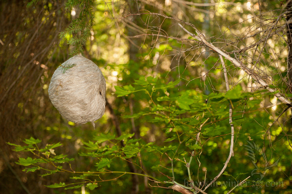
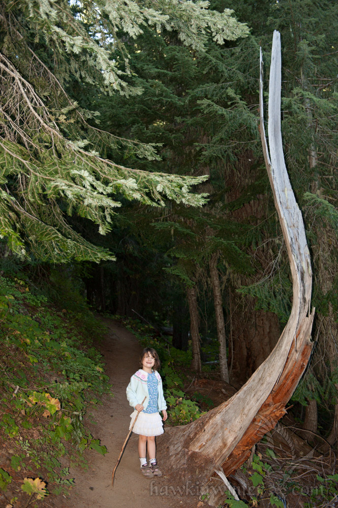
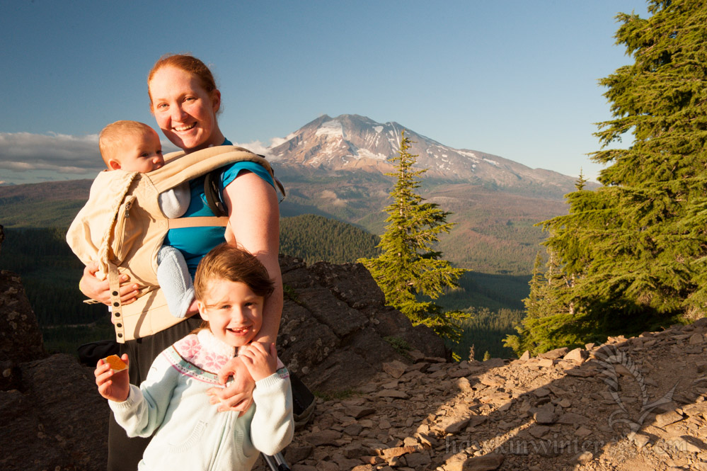
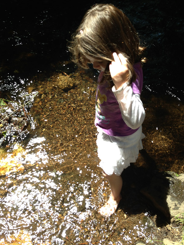
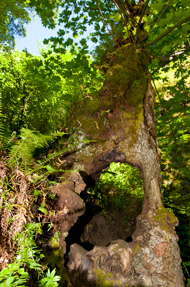
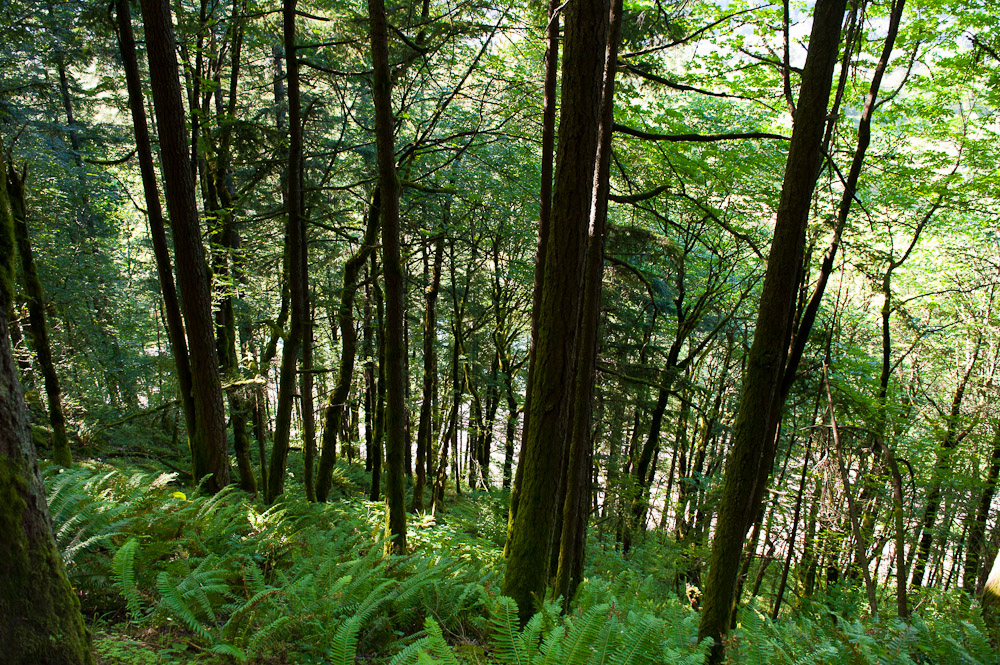
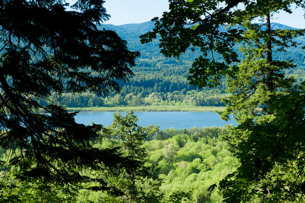
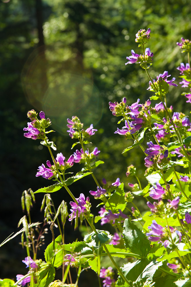
My five-year-old daughter has been very interested in rocks, crystals, and minerals lately, an offshoot of her intense interest in faeries and the natural realm over which they preside. At her request, I pulled up several images from Google displaying a variety of agates, jasper, geodes and, of course, thunder eggs. This led to a short hike to a nearby creek, after which she discovered several examples of quartz and red agates polished by the stream. By the time this trip had ended, a new pebble puppy was born and my inner rockhound had been reawakened.

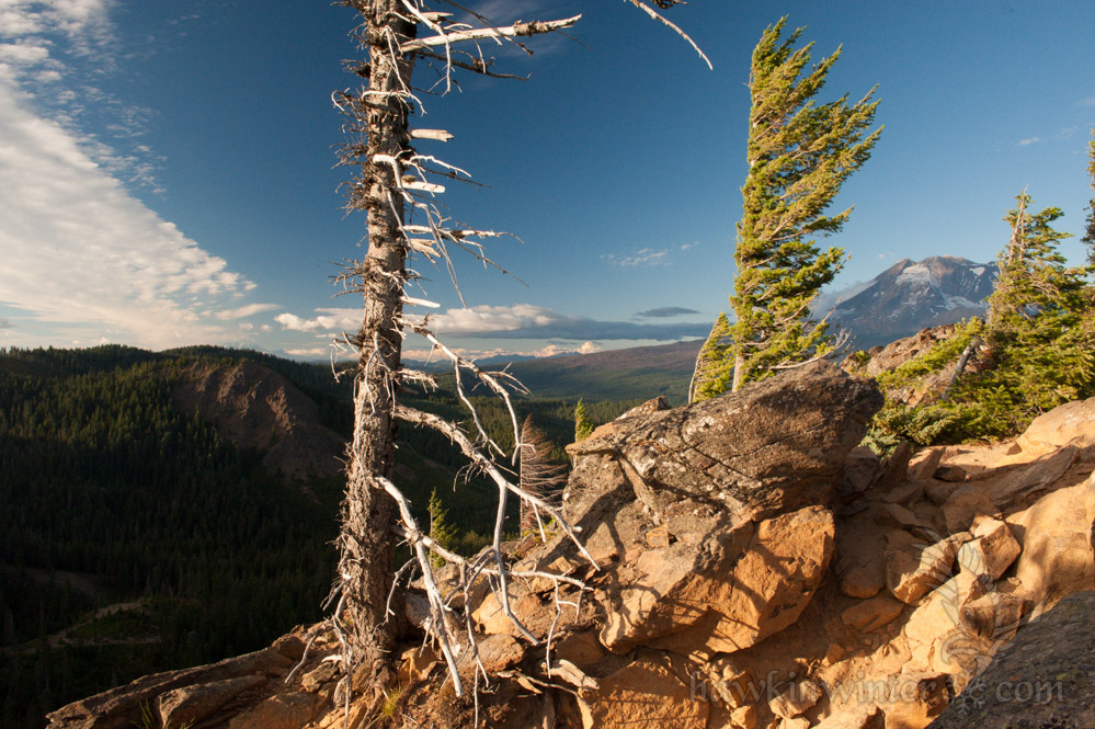
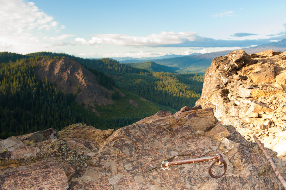
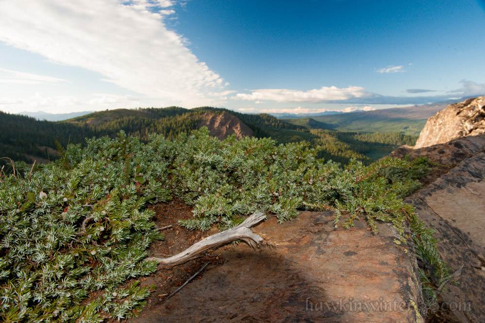
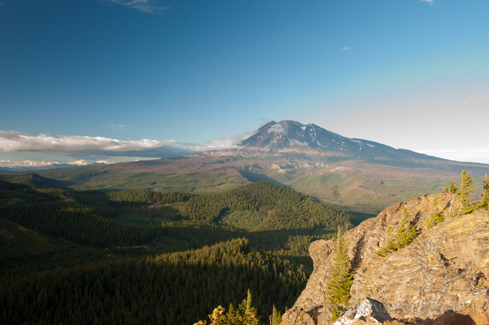
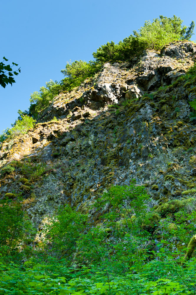
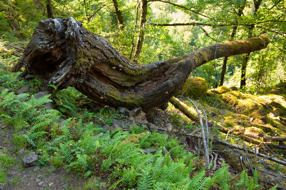
We happen to live in a very geologically active area and a perfect breeding ground for all sorts of beautiful minerals awaiting discovery. The Pacific Northwest is home to a family of volcanoes in the Cascade Range. Over millennia they would belch ash rich in silica on to the desert planes. This silica rich volcanic ash, known as ryolite, accumulated and eroded forming striking reddish cliffs that enhance the otherwise monotonous desert landscape. The silica, being water soluble, percolated through the porous rock, eventually settling in gas-evacuated hollow spaces of the hardened basalt. Over time this material solidified, forming the colorful agate centers of what we now call thunder eggs. With such rich geology a stone’s throw away we planned a family trip to mine some eggs and start an epic rock collection. A few rock hammer purchases later and we were on our way. [Read more…]

The Sleeping Beauty Trail – A Commanding Vista Above Trout Lake, WA

Sleeping Beauty HikeSleeping Beauty is a bare rock outcropping perched high above the Trout Lake valley near Mt Adams. The hike is only 1.5 miles in length but gains over 1200 feet of elevation in that short distance. While some exertion is required to reach the top, the view is well worth it, offering incredible views of the Gifford Pinchot National Forest. The trail is open in early summer and closes around mid November. The name “Sleeping Beauty” was given to this rocky hill due to its resemblance of a sleeping woman when viewed from the town of Trout Lake. Curious Gorge explains this in deatil and provides photographic evidence.

To reach the trail head, follow Trout Lake Creek Road out of Trout Lake and merge onto Forest Road NF-8810. Follow NF-8810 for 6 miles, turning right onto NF-040. I marked the exact location of the trail head in Google Maps. The trail begins in a heavy forest and starts gaining elevation immediately. In fact, the vast majority of the hike takes place under a heavy canopy, reserving the majestic views for the end of the hike.

Shortly after departing, we encountered a paper wasp’s nest clinging to a pine tree, so I asked the group to wait while I “shot” it. Our friends didn’t realize I was referring to my Nikon, so they fled up the very steep trail expecting an angry swarm. After this hilarious misunderstanding we continued on uneventfully, stopping for water breaks as needed. We reached the timberline about 40 minutes later. Having hiked Dog Mountain, I believe these two hikes are very similar in their setting and trail composition, however this hike is shorter and perhaps not as steep. Both hikes offer amazing views at the end.

We started hiking around 4PM, so the sun was beginning to set by the time we reached the top, casting long shadows across the landscape and bathing the peak in golden light. We discovered a concrete foundation and some steel cables at the top. Apparently, the peak was home to a fire lookout that was destroyed in the 1960s. Today, all that remains are the foundation and a few anchor points drilled into the rock.

My daughter wanted to get a head start on her modeling career, so I was happy to help. After her photo shoot, we spent a half hour exploring the peak and enjoying the view before heading back due to dwindling light. I’ll definitely start earlier in the day next time I hike this trail.
Sleeping Beauty Hike

The Falls Creek Falls Hike – A Hidden Gem in Washington’s Gifford Pinchot National Forest

Cute kid with big backpackMy parents were in town this week for my son’s baptism. With the baptism behind us, my mom wanted to hike one of our many trails since she has only seen the amazing Gorge scenery from the freeway (and the air). Originally, I considered taking her to Horsetail Falls and pushing farther to reach Triple Falls. She vetoed that idea when it became apparent the hike would take more than a few hours. This led me to search for some alternatives and I was fortunate to stumble upon Falls Creek Falls, an easy 3.4 mile round-trip with an impressive waterfall at the end. While most of the local waterfalls can be found on the Oregon side of the Columbia River, this one is located in Washington near the town of Carson. The trail head is very accessible and provides an ample parking lot and bathroom.

The trail follows Falls Creek up a gentle slope to the base of the waterfall, approximately 1.7 miles from the trailhead. The path is well groomed and provides multiple access points to view or wade in the creek, though I wouldn’t recommend the latter. My daughter tried this only to be met with frigid water that left her extremely uncomfortable. Yes, it’s August and the water is still frigid. She is adventurous, but also observant and pays attention when I point out potentially dangerous areas. There are a few spots on this hike where the cliff leading down to the creek increases in height and slope, necessitating hand holding and careful treading. If your kids are willing to take your hand and listen to words of warning, I’d recommend this hike as mostly family friendly.

Mirror surface and still creek. [Read more…]

Return to the Trout Lake Fish Education Day

Siena and Daddy start fishingToday my family and I returned to Trout Lake for the annual fishing derby and fish education day. Unlike last year, we arrived on time and came prepared with an eager 4-year-old and appropriate fishing gear. The trout were plentiful and Siena caught her limit of four fish. We are all looking forward to dinner tonight when I prepare fresh trout sauteed in garlic butter and olive oil.

Last year, Siena  required a great deal of supervision and encouragement. This year she was engaged, patient and successfully landed two fish by herself. The other two required my assistance, but we got the job done nonetheless.  After we were satisfied with our successful fishing expedition, we took Siena to a nearby playground where I excitedly called my dad to share my daughter’s accomplishment. He quickly reminded me of our Tahoe Trout Farm trip when I was 8 years old, asking if Siena caught any “flying fish”. To this day, he still enjoys teasing me about the hasty and haphazard manner in which I landed my trout. While my father expected me to “play the fish” as a prerequisite for thorough enjoyment of trout fishing, I fortunately had no expectation for Siena. In fact, I believe the two trout I helped my daughter catch today could easily be described as “flying fish”.

Hiking the Horsetail Falls trail to Oneonta Gorge

Horsetail Falls (I can't choose which angle I like more)Horsetail FallsThis year for my wife’s birthday, we hiked the Horsetail Falls trail to Oneonta Creek. We started late in the day, which  limited our hiking time, but simultaneously provided gorgeous light for late afternoon photography. In fact, the Horsetail Falls Trail, when hiked its full length, passes by Middle Oneonta Falls and Triple Falls. I’m looking forward to returning in late Autumn to shoot Triple Falls accented by yellowing Bigleaf maples.

The trailhead is located fifty feet or so east of Horsetail Falls. This waterfall is adjacent to a parking lot, making it a popular destination for tourists passing though the Columbia River Gorge. After photographing the falls, we were warmly greeted by a steep switchback and a decent elevation gain as we started our hike. The switchback ended at a connecting trail about 2/10 of a mile from Ponytail falls. The trail followed a cliff that offered amazing vistas of the Columbia Gorge 500 feet below. The lush foliage began to transluce as the sun set, casting long shadows and bathing the Gorge in golden light. Here delicate wildflowers clung to their precarious perch overhanging the windswept basalt cliffs.

Our daughter was sitting this hike out, spending time with a babysitter she adores. Gabriel, on the other hand, was very content on this, his first outdoor adventure. He fussed a bit as we neared Ponytail falls, quieting down as Momma fed him. I used this downtime to photograph the wildflowers and river vistas that the elevated trail provided. A lone monument to a 14 year old hiker who perished in 1988 from a fall can be found here. Every year recreation in the Gorge leads to deaths or injuries, so it is important to be well prepared when venturing into the wilderness and to be aware of the potential danger obscured by the alluring natural beauty.

Ponytail Falls is a hidden gem. Erosion created a pocket behind the falls that provides a very unique perspective. The trail curves around the bowl and behind the cascade itself, leading through an echo chamber that makes conversation difficult without a raised voice. The green moss and cold spray make this spot a relaxing refuge on a warm spring day.
The photo seems peaceful but the cascade made plenty of noise

We followed the trail past Ponytail Falls until it started to lead west, high above Oneonta Gorge, a narrow slot canyon that makes for a memorable hike. We paused at the top of Lower Oneonta Falls, though it was completely obscured by the heavy fern canopy. At this point, with the sun setting, we decided to turn back, saving Triple Falls for another day. We ended our day at Pfriem Brewery and sampled their brews while reflecting on the hike.

Hiking Near Lake Lenore and the Grand Coulee Dam

I drove up to Grand Coulee to visit an old friend from college, Kylee. We were engineering students at Cal Poly where she earned her mechanical engineering degree. Now she’s working at the Grand Coulee Dam on temporary assignment through the end of the year. In addition to giving me a tour of the dam, we also ventured off into the surrounding wasteland for a hike near Lake Lenore.

The landscape of Northeastern Washington is dry, hot and barren, but strikingly beautiful as well. The land was created by fire and shaped by water over millions of years:

  • 40 to 60 million years ago: Granite bedrock formed deep in the Earth’s crust, eventually being uplifted to form small mountains and an inland sea.
  • 10 to 18 million years Ago: The Grand Ronde Rift experienced a series of volcanic eruptions which filled the inland sea with basaltic lava.
  • 2.5 million years ago: The Pleistocene glaciation covered much of North America with ice sheets, which blocked the Columbia River causing it to divert to the south, creating a channel which would eventually become The Grand Coulee.
  • 18,000 years ago: Glacial ice advanced to block the Clark Fork River drainage in present day Idaho, creating a massive lake which covered much of Montana. The natural ice dam failed, releasing roughly 500 cubic miles of water in 48 hours. This process is thought to have occurred periodically resulting in a cataclysmic event that we now know as the Missoula Floods.

[Read more…]

Hiking Oneonta Gorge

TrailheadMy wife and I celebrated our 5th wedding anniversary with a hike to Oneonta Gorge. The weather was perfect with a bright sunny day and an ambient temperature of 85 degrees Fahrenheit. Little Red Hen had visited Oneonta Gorge as a teenanger and since then she had dreamed about coming back one day with a sweetheart. This was a perfect opportunity as her friend offered child care for our little Fuss Nugget.

Oneonta Gorge is a unique trail. It’s not very long or complicated, nor is there much elevation gain. This trail is unique in that the creek itself is the trail. In the summer months, when the temperature is warm and the water levels are low, it’s possible to hike from the trail head to a majestic waterfall over a distance of less than a half mile. The gorge itself is a narrow slot canyon with very high walls, providing excellent shelter from the sun. The cold water of the creek, shade provided by the high walls and the cool breeze blowing through the canyon make this spot an ideal respite from a hot day. [Read more…]

2012 Oregon International Air Show

2012 Oregon Air ShowEver since I finished flight school, I’ve been more interested in airshows and fly-ins. Sadly, I attended the air show solo this year since the Fuss Nugget was just too fussy to stick around. Between the bright sun and uncomfortable shoes she didn’t have much of a chance. Speaking of sun, it was a hot one this year! Temperatures rose to about 104 deg Fahrenheit with only a small breeze keeping the event on the edge of bearable. The organizers of the show failed miserably on the availability of water, with only a few stations scattered in inconvenient locations, all ahead of long lines. A few vendors sold ice cold water at $3.00 per bottle, a price I was more than willing to pay. Another annoyance was the fact that many of the food vendors were located in the VIP area of the air show, requiring ticket upgrades. The air show nazis held the checkpoint steadfastly, refusing to allow anyone in for a temporary visit to the “restricted” food vendors. The combined lameness of these two annoyances, along with a lack of interesting exhibits will probably drive me to watch the show from across the airport with an air band radio next year. I’m sure that listening to the CTAF/tower frequency will be far more interesting than listening to the announcers. [Read more…]

Inside the Guler Ice Caves of the Gifford Pinchot National Forest

Entrance to Ice CaveThe forests that surround the volcanoes of the Pacific Northwest hide many lava tubes. In fact, due to the Federal Cave Protection Act and a human-spread bat pathogen, the NFS rangers will not disclose the location of most of these caves. Fortunately, the Guler Ice Caves are an exception, with a parking lot, restroom and stairway to the cave floor conveniently provided. Of all the lava tubes I’ve explored, these caves are, by far, the most impressive due to their intricate ice formations that last until early summer. Each year the ice melts and reforms into unique sculptures making the caves worthy of repeat visits. We arrived in June when most of the ice had melted, however we still found much to see and photograph. A signpost near the cave describes how it formed: [Read more…]

Exploring the Trout Lake Cheese Caves

My wife and I do something adventurous to celebrate her June birthday every year. However, she was knee-deep in final exams this time. We decided to reschedule our adventurous outing for the weekend following her finals, when we could both relax and enjoy the experience. Having lived in Trout Lake, we heard about the many lava tubes in the area, including the well known ice caves and cheese caves. Sadly, we had neglected to take advantage of these sights in our own backyard until now.

Guler Cheese Company LocationThese caves have an interesting history as they were used as a natural refrigerator in the 1930s and 1940s due to their 42 degree year-round temperature. The Guler Cheese Company was founded at a time when aged French bleu cheese was in short supply due to the political turmoil preceding World War II. The goal was to replicate the aging process used to make Roquefort cheese, using caves for storage and aging. The Pacific Northwest Cheese Project has an article that covers the history of the site and it’s definitely worth a read. [Read more…]